Trail Map Development
 In addition to trail design and construction services, Arrowhead Trails also provides cartography and GIS mapping services to agencies, organizations, and private landowners. Danna Lambert, our chief cartographer, has extensive experience in GPS field mapping, aerial map interpretation and producing full color maps with Adobe Illustrator and Photoshop.
Arrowhead Trails, Inc. offers advanced GPS trail system mapping and evaluation, and can help our clients assess and prescribe trail system maintenance plans that are organized geographically using GIS. We meticulously map property and trail features in the field and can shape our expertise so our final product always meets the focus of the clients’ objectives. Data collected in the field can be overlaid on aerial photographs, topographic maps, soils layers, property ownership layers, geo-referenced scanned paper maps, and a variety of other base layers. Our accurate field data collection generates detailed maps that can include trail data as well as other property attributes such as forest stand types and acreages, soil types, land use, river and road frontage lengths, just to name a few.
- Land Trust of the Upper Arkansas (Colorado)
- Little Rainbow Trail (Colorado)
- Mosier Gulch, Buffalo (Wyoming)
- Sapphire Pointe (Colorado)
- Baxter Gulch, future (Colorado)
- Lake Pueblo State Park (Colorado)
- Mancos State Park (Colorado)
- Arkansas Headwaters Recreation Area - Mapped and helped develop GIS system
- Ridgway State Park (Colorado)
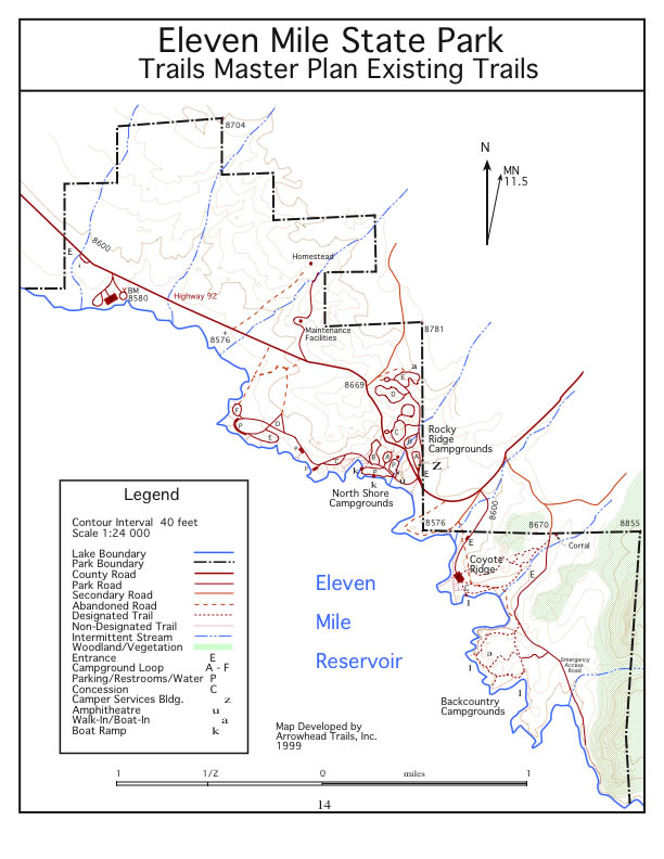
- Eleven-Mile State Park (Colorado)
- Breaks at Bar H Mountain Bike Ranch (Texas)
- Highline Lake State Park Trail Map
- Crawford State Park Trail Map
- Santa Fe Trail System (New Mexico)